Bure’s Neolithic Enclosure: What a Two-Kilometre Ditch Can Reveal
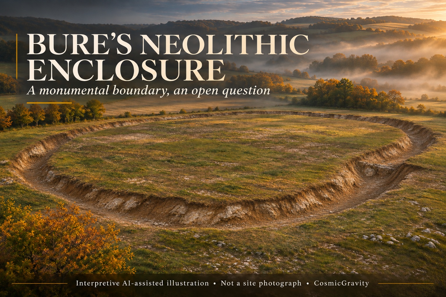
The Bure Neolithic enclosure is a reminder that prehistoric monuments do not have to stand above ground to reveal an extraordinary investment of labour. In northeastern France, archaeologists are examining a huge boundary cut into the earth: a ditch reported to run for roughly two kilometres.
New coverage in November 2026 has brought the site back into view. Its story, however, began with diagnostic surveys a decade earlier. The distinction matters. What makes the current work interesting is the opportunity to move from recognising an enclosure to understanding how it was built, used and eventually filled.
Where the Bure Neolithic enclosure fits
The site lies in the Meuse–Haute-Marne area, on land associated with the planned Cigéo geological disposal project. The archaeological work is a separate investigation of past human activity on that landscape. Its presence does not establish anything about the merits of the modern development.
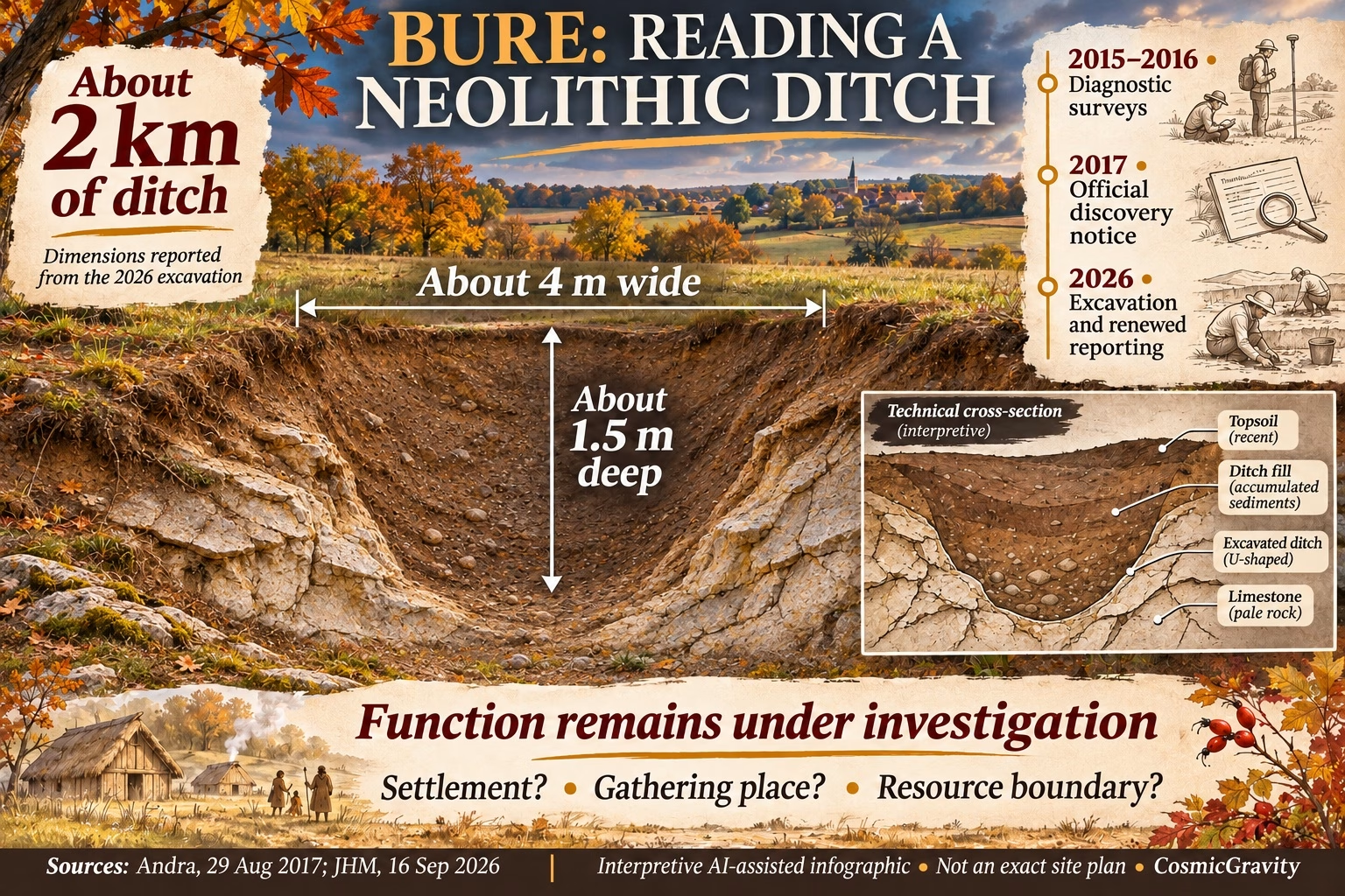
An Andra notice dated 29 August 2017 records that Inrap’s 2015–2016 diagnostic work had identified a Neolithic enclosure of approximately 35 hectares. It explains that the regional cultural authority prescribed further excavation and restrictions on works within an archaeological reserve.
That primary record rules out describing Bure as a site discovered for the first time this November. The present news belongs to a longer sequence of investigation. It also shows why an archaeological discovery and a fully interpreted monument are different stages of knowledge.
What the current excavation reports describe
In its September report from the excavation, JHM described a broad, sinuous ditch roughly four metres wide and one and a half metres deep. It reported an enclosed area of about 32 hectares and linked the work to a programme that began in July 2026. L’Union’s public introduction on 8 November likewise describes a monumental elliptical enclosure with a ditch about two kilometres long.
The 32-hectare figure in the recent reporting and the approximately 35 hectares in Andra’s earlier notice should not be presented as identical measurements. They may reflect different stages of investigation or the way the site was delimited. The figures establish the scale of the question without giving us licence to draw an exact final plan.
JHM’s account also describes difficult limestone ground and discusses possible wooden digging tools and antler picks. These are proposed ways to understand the labour involved, rather than a complete recovered toolkit proving each step of construction. The basic question is compelling: how did a community organise such a substantial boundary?
How old is the Bure Neolithic enclosure?
Andra’s early notice establishes the Neolithic attribution. The precise calendar date requires more caution. L’Union’s November introduction gives approximately 3800 BC, while JHM’s September text gives 4800 BC. That is a meaningful difference, not one that should disappear inside a rounded headline.
We therefore describe the monument as Neolithic and leave the exact construction date open in this account. A published excavation chronology, supported by the relevant samples and contexts, would provide a firmer basis for choosing between those dates. An approximate age in a news introduction is not a substitute for that evidence.
Dating the construction also differs from dating a later deposit in the ditch. Material near the bottom might relate to early use, but researchers still need to establish how it relates to the cutting of the feature. Later objects can tell a different part of the story.
A boundary does not explain its own purpose
It is tempting to look at a large enclosure and immediately imagine a fortress, village or ceremonial centre. Shape and scale alone cannot decide among those possibilities. A ditch could mark access, organise space, separate activities or serve more than one purpose across its lifetime.
Excavators can approach those possibilities by comparing the boundary with what survives inside and outside it. Entrances, postholes, pits, artefact distributions and successive deposits can provide different tests. A suggested palisade, for example, would need its own traces; it should not simply appear in a reconstruction because an enclosure looks unfinished without one.
The absence of a structure in an early report is not proof that no structure existed. Equally, empty space on a preliminary plan is not permission to populate it with imagined buildings. Our accompanying illustrations are interpretive graphics, not photographs or exact reconstructions of the site.
What excavation can add to a survey
Andra’s 2017 account explains that the diagnostic work sampled the development area through trenches, covering around a tenth of the studied surface. Such work can identify buried features and guide decisions about further investigation. It is not the same as exposing every part of a monument.
More extensive excavation can connect isolated observations. A section through a ditch reveals layers of fill; a broader view shows how that section relates to a bend, entrance or neighbouring feature. Recorded together, those observations can help distinguish a single construction episode from later changes.
Our report on Iron Age wells and a Roman spring in Hampshire explores another case in which deposits and sequence matter as much as a striking structure. At Bure, too, the information lies in relationships between features and finds.
What the Bure Neolithic enclosure can teach us
The Bure Neolithic enclosure offers a way to study collective work, land use and the making of boundaries without assuming a lost advanced civilisation or a single dramatic explanation. Digging a long ditch into difficult ground would have required decisions about effort and space. Archaeology can investigate those decisions through the traces that remain.
For a wider geographical comparison, our world atlas of megalithic structures looks at monuments built with large stones. Bure is a different kind of construction: its significance here comes from an earth-cut boundary, not a demonstrated ring of standing stones. Keeping that distinction makes the comparison more useful.
The next advances will come from the excavation record: a secure chronology, a better account of the ditch’s changing form and evidence for activities around it. Until then, the monument is impressive enough on its own terms. Its unanswered questions are reasons to follow the work, rather than gaps to fill with a ready-made story.
Reporting note: the 2017 Andra notice is the primary source for the diagnostic discovery. Recent dimensions come from the linked 2026 field reporting. The conflicting calendar dates and approximate area estimates are retained explicitly; no final excavation report is claimed here.



latest video



news via inbox
Subscribe to our Cosmic newsletter to get notified when we have new articles.