Buto Archaeology: The Buried Building and Its Sand Foundation
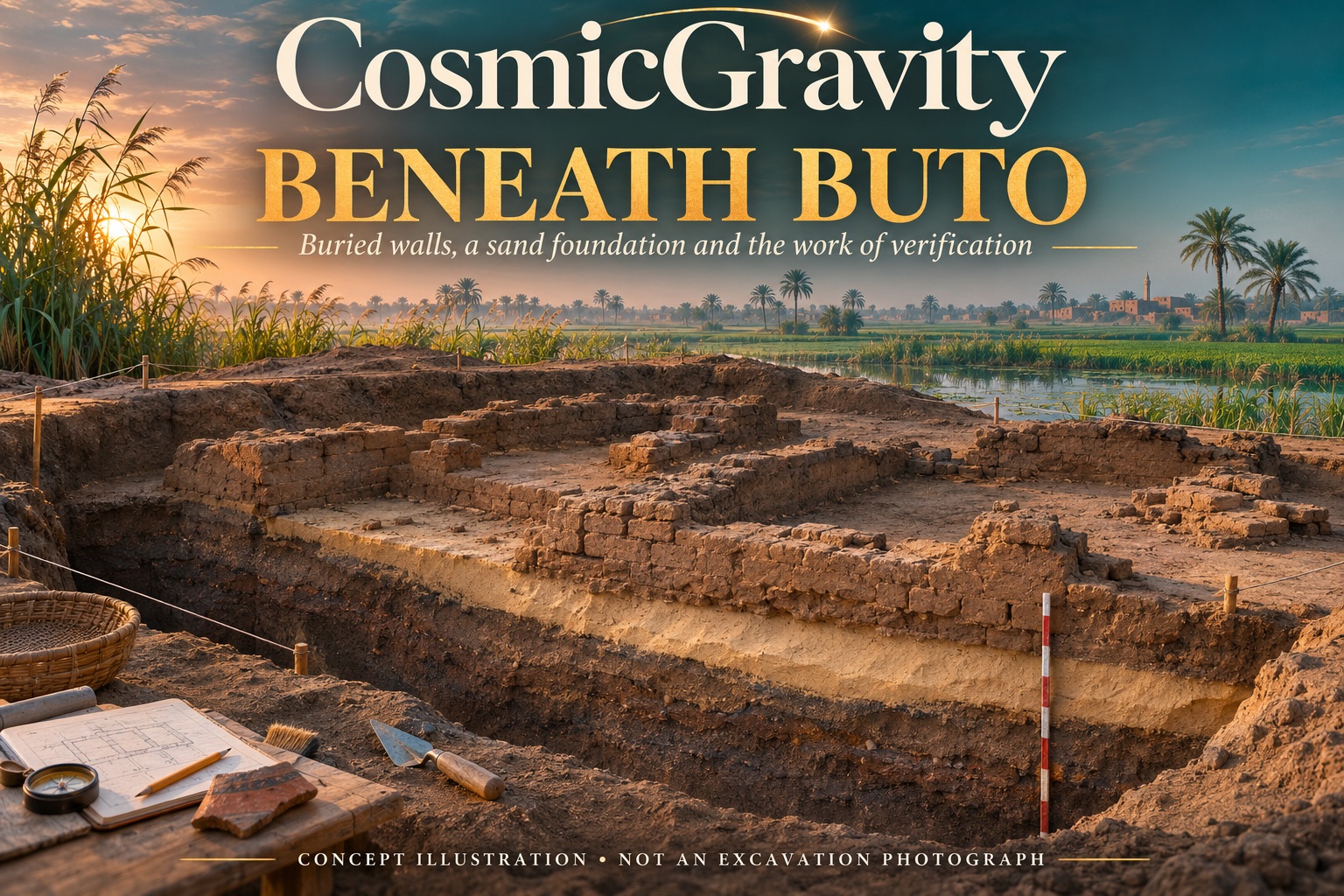
Buto archaeology is revealing something less glamorous than a golden tomb and perhaps just as revealing: substantial buried mudbrick walls resting above a deliberately placed layer of sand. The setting is the Nile Delta, where the ground beneath a building can matter as much as the building itself.
A study led by Mohamed A. R. Abouarab combines satellite imagery, ground-based electrical surveys and targeted excavation at Kom C, one of the mounds of ancient Buto, now Tell el-Fara’in. Its interest lies in how those different observations fit together—and in what remains uncertain about the structure they helped identify.
The research behind the Buto archaeology story
The open-access Acta Geophysica paper appeared on 10 March 2026. Recent reporting has brought it renewed attention, but the publication date matters: this is not an excavation announced for the first time today.
The researchers describe Buto as a settlement with a long, layered occupation history. Later activity sits above earlier remains. As the French Institute of Oriental Archaeology’s account of the site shows, it has also sustained decades of archaeological research. A new survey therefore enters an existing investigation, rather than revealing a city nobody knew was there.
What satellite imagery contributed
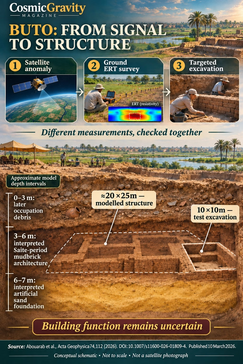
The study processed a Sentinel-1 radar image captured on 5 May 2018 to identify large-scale anomalies and guide the placement of ground surveys. The researchers then used electrical resistivity tomography, or ERT, to investigate the subsurface.
Those are different steps. A pattern in a satellite image can help select a promising area. ERT measurements and their inversion models provide another kind of evidence about what may lie below it. Excavation then gives researchers access to actual material in a limited area.
This sequence is the useful story. It would be misleading to present the final interpretation as if the satellite had supplied an ordinary photograph of complete rooms underground. The paper’s workflow depends on combining observations, modelling and physical checks.
Buried walls and a possible Saite-period building
The authors interpret a substantial anomaly roughly three to six metres below the surface as mudbrick architecture from the Saite period, Egypt’s 26th Dynasty in the seventh and sixth centuries BCE. A rectangular feature in the model measures approximately 20 by 25 metres.
Those dimensions describe an interpreted structure in the survey results. They should not be confused with an entire building fully exposed by excavation. The team’s test trench covered 10 by 10 metres and contained mudbrick walls and religious artefacts, supplying a physical check on part of the geophysical interpretation.
That distinction makes the find stronger to assess. A model can show where a feature appears to continue beyond an open trench. An excavated wall can show that a particular anomaly corresponds to real architecture. Together they offer more than either observation alone.
Why the sand foundation matters in Buto archaeology
Below the interpreted architecture, the study identifies a relatively resistive sand layer at approximately six to seven metres. The authors compare it with earlier borehole evidence and argue that this shallower sand was deliberately introduced, rather than being the site’s natural sand base.
If that interpretation is correct, builders were doing more than placing mudbricks on whatever ground happened to be available. They were preparing a foundation in a landscape shaped by water and sediment. The authors discuss how such preparation could improve stability and help a substantial building endure.
Sand is not an exotic material, which makes it easy to overlook. Yet ordinary materials can encode an important engineering decision. The relevant question is where the material sits, how it relates to the walls above it and whether the natural geology supplies another explanation.
What was the building for?
The researchers consider a tomb or shrine among the possibilities. The architecture and associated objects suggest a religious or funerary setting, but they do not fix the function of every part of the structure. More excavation could change the interpretation.
A figurine, altar or wall is informative within its recorded context. It becomes less useful when removed from that context and made to carry an entire imagined ceremony or biography. The material can support several questions without answering all of them yet.
Our recent account of the Pompeii cupboard explores a similar challenge at a different site: how objects reveal activity while leaving personal stories unresolved.
A useful way to read archaeological scans
Buto archaeology offers readers a practical sequence to follow: identify the observation, examine the model, then ask what excavation checked. A coloured volume on a screen is an interpretation of measurements. It becomes more informative when the study explains the connection between that volume and material found in the ground.
Our guide to pyramid scans and the Biondi debate discusses other methods and claims. The techniques should be evaluated individually; Buto’s ground ERT measurements and excavation cannot validate unrelated scans elsewhere.
Here, the attraction is the patient combination of evidence. The walls hint at the organisation of a substantial building. The sand beneath them may preserve a decision about how to build on difficult ground. Both deserve attention, even while the building’s name and purpose remain open.
Research checked 3 November 2026. Primary study published 10 March 2026; recent coverage is distinguished from the original research. Approximate dimensions and depth intervals follow the paper. Original graphics are clearly labelled conceptual.



latest video



news via inbox
Subscribe to our Cosmic newsletter to get notified when we have new articles.