Oued Beht in Morocco and the Earthworks Beneath Its Stone Wall
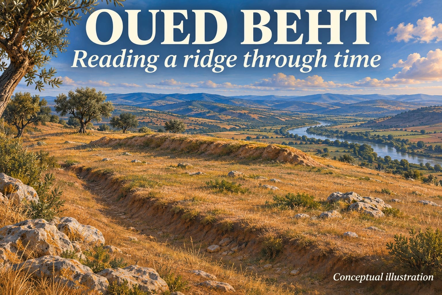
A stone wall crosses a narrow ridge at Oued Beht in northwestern Morocco. Archaeologists recorded it in the 1930s, but its visible masonry tells only the later part of the story. A trench through the ridge found earlier building layers, a bank and an associated ditch. The sequence shows how people changed the same stretch of ground over thousands of years. Lucarini and colleagues’ excavation report in Libyan Studies.
Where is Oued Beht and what was there first?
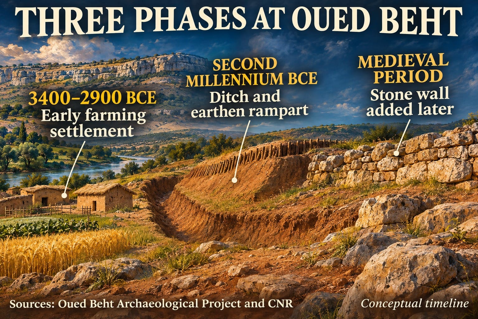
Oued Beht lies in Morocco’s Khémisset province, on a ridge above the river that gives the site its name. Excavations and surveys in its northern sector have documented farming communities from around 3400 to 2900 BCE. Excavators found pits, pottery, tools and remains of cultivated plants. The pits are particularly useful because their fills preserve evidence of activities that are hard to see at the surface. Establishing when individual pits were cut, used and filled still takes careful work. The project’s earlier farming settlement study in Antiquity.
The later earthworks investigated in the 2023 field season lie in the southern sector. They cross the narrowing ridge and take advantage of the land falling away to either side. Once the position of the boundary is clear, the harder task is working out which parts of it stood together.
How archaeologists dated the ditch and rampart
The trench exposed earlier construction beneath the later masonry. The excavators identified foundation deposits, traces of clay building material, bank deposits and fill in the ditch. The project used a series of radiocarbon dates to place the main prehistoric construction in the early to middle part of the second millennium BCE, roughly 3,500 to 4,000 years ago. The Italian National Research Council’s September 2026 account.
One charcoal sample in a foundation deposit gave a calibrated range of 2010 to 1747 BCE. Another from a related earlier construction layer gave 1896 to 1623 BCE. Those ranges date sampled organic material. The excavation sequence is what connects that material to construction, later deposits and rebuilding. Quoting the earliest end of one range as the wall’s exact birthday would hide that distinction.
Was Oued Beht a Bronze Age fortress?
A ditch and bank across a narrow approach could make access easier to control. That is the basis for a defensive interpretation. The excavation team also considers other reasons for dividing the ridge, and the boundary may have served different purposes as it was altered. Its scale suggests organised work. The surviving features give fewer answers about who directed the work or what prompted it.
The study uses the Bronze Age as a chronological comparison with better-documented parts of the western Mediterranean. The excavated copper finds discussed in the paper do not yet establish metalworking in the dated earthwork phase. What the evidence does establish is substantial construction in a period that remains poorly documented in northwestern Morocco.
What the later wall adds to the story
Medieval builders put a stone wall on the same alignment as earlier works. A medieval burial elsewhere on the site adds separate evidence that people returned to the ridge. The excavation therefore reveals several uses of a useful place, separated by long stretches of time for which the record is thinner.
Our account of the Bure Neolithic enclosure shows a different example of archaeologists using ditch deposits to ask when a boundary formed and how it was used. At Oued Beht, excavating beneath the visible masonry is what made the earlier phases legible. Read about the Bure enclosure.



latest video



news via inbox
Subscribe to our Cosmic newsletter to get notified when we have new articles.